





Pemerintah Kabupaten Aceh Tamiang: Bumi Muda Sedia Pulih dan Bangkit
Pemerintah Kabupaten Aceh Tamiang: Bumi Muda Sedia Pulih dan Bangkit — Informasi Terbaru
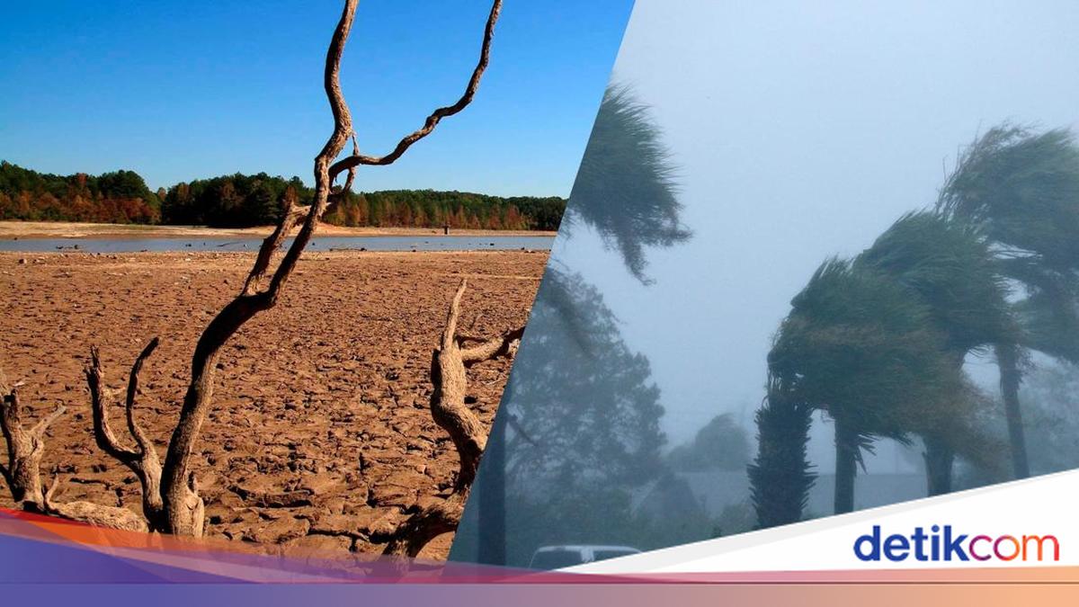
Recently, the term El Nino Super has been widely discussed again. Various reports have noted an increase in sea surface temperature in the Pacific Ocean, which is considered potentially triggering a strong El Nino in 2026 to 2027.
This phenomenon has even been mentioned to be able to induce a record-breaking global temperature.
Given this situation, Indonesia has increased vigilance because the country is relatively vulnerable to the impacts of climate change.
Long-term drought, forest fires, crop failures, and water shortages have been frequent threats when El Nino occurs.
However, a similar phenomenon actually occurred in the period 2023-2024. At that time, the surface temperature of the Pacific Ocean rose extremely, causing a change in global weather patterns.
The impact was felt worldwide, ranging from massive floods in South America to severe droughts in Southeast Asia and Australia.
So, what is El Nino Super exactly? And what are its impacts on Indonesia?
El Nino is the warm phase of the ENSO (El Niño-Southern Oscillation) phenomenon, which is a natural climate change arising from the warming of the surface water in the middle and eastern Pacific Ocean.
This phenomenon causes a change in atmospheric circulation and global wind patterns.
In normal conditions, the trade winds push warm water to the western Pacific, including Indonesia. However, during El Nino, these winds weaken, causing warm water to flow back to the center and east Pacific.
As a result, rainfall and weather patterns in various parts of the world also change.
Some countries experience extreme rainfall and floods, while other regions suffer from prolonged droughts and extreme heat.
According to the World Meteorological Organization (WMO), El Nino usually occurs every two to seven years and lasts for about nine to twelve months.
The term El Nino Super is used to describe an extremely strong El Nino.
This condition occurs when the surface water temperature in the Pacific Ocean increases more than +2 degrees Celsius above normal.
Such phenomena are considered rare.
Since 1950, there have been only a few instances of an El Nino Super, including the period 1982-1983, 1997-1998, and 2015-2016.
During El Nino 2023-2024, the sea surface temperature anomaly in the Niño 3.4 region exceeded +2 degrees Celsius, meeting the criteria for a very strong El Nino.
The warming of the ocean was widespread from the central to the eastern Pacific, affecting global weather patterns severely.
Currently, scientists are again monitoring the signs of the emergence of a strong El Nino in 2026.
Based on the latest predictions from the International Research Institute for Climate and Society at Columbia University, the likelihood of El Nino developing in June 2026 is around 70% and is expected to persist until the end of the year.
Meanwhile, the National Oceanic and Atmospheric Administration (NOAA) predicts a 82% likelihood of El Nino developing in the period May-July 2026 and increasing to 96% by early 2027.
However, WMO also explained that the term "Super El Nino" is not an official term in meteorology.
However, this term is still used to describe El Nino with extremely large impacts.
El Nino Super has several characteristics that are different from regular El Nino.
During the event in 2023-2024, it initially emerged in May 2023 and peaked in October to December 2023.
The surface sea water temperature in the tropical Pacific increased dramatically and expanded.
Some global climate models such as NOAA, ECMWF, and BoM Australia report that ocean warming is once again increasing in 2026.
In fact, some models predict that sea surface temperature anomalies can exceed 2 degrees Celsius for the first time in history.
Researchers from the Union of Concerned Scientists, Marc Alessi, said that the possibility of the global temperature reaching an anomaly above 2 degrees Celsius alone is already a big surprise for the scientific community.
In addition to increasing sea surface temperature, El Nino Super also causes a sharp rise in air temperature.
Combining strong El Nino with global warming due to greenhouse gas emissions makes the risk of extreme weather more severe.
In South America, particularly Peru and Ecuador, this phenomenon causes heavy rainfall and massive floods in coastal regions.
Meanwhile, East Africa experiences an increase in rainfall, triggering the risk of floods and landslides.
On the other hand, Southeast Asia, Australia, and parts of South Asia suffer from prolonged droughts and extreme heat.
In North America, El Nino affects storm patterns, making some areas experience a milder winter.
This phenomenon can also affect tropical storm activity.
El Nino tends to reduce hurricanes in the Atlantic but increases the potential for strong storms in the Pacific.
In Indonesia itself during 2023-2024, the rainfall in some areas dropped by 50-90%, particularly during the dry season.
As a result, many areas experienced droughts and water crises.
Reservoirs and water sources in Java, Nusa Tenggara, Kalimantan, and Sulawesi experienced significant drops in water flow.
Sulawesi Tengah was one of the regions severely affected.
This area experienced prolonged dry seasons and an increase in forest and land fires.
Sumatra, Kalimantan, and Sulawesi also saw increased forest and land fires, as reported by the BMKG.
The Indonesian Environmental Network (WALHI) warns that El Nino is not just a matter of extreme weather but also related to social and ecological crises.
In a study by the National Research and Innovation Agency (BRIN), El Nino has the potential to trigger upwelling, or the rising of nutrient-rich water from the ocean floor to the surface.
This phenomenon can increase marine productivity due to an increase in phytoplankton as the base of marine food chains.
However, WALHI assesses that the increase in fish potential does not automatically benefit coastal communities.
An official release by WALHI's Coastal and Marine Protection Campaign, Mida Saragih, emphasized that the main issue is not just whether fish increases, but who can access these resources.
WALHI states that without fair management, El Nino phenomena will further exacerbate inequality and the loss of community living space.
WALHI also urges the government to prepare a rescue plan for island regions, including mapping high-risk areas for disasters, water crises, and food crises.
Rehabilitation of mangrove, seagrass, and coral reef ecosystems is considered necessary as part of climate change mitigation.
To face the threat of El Nino Super, readiness is the most important step.
People need to start conserving water, anticipating extreme heat, and increasing vigilance against forest and land fires.
Farmers are also advised to adjust their crop patterns and use drought-resistant crop varieties.
That's it for El Nino Super and its characteristics.
Now is the time to step up vigilance and maintain health.
Beware of El Nino Super, Get to Know Its Characteristics detikcom
Pemerintah Kabupaten Aceh Tamiang: Bumi Muda Sedia Pulih dan Bangkit — Informasi Terbaru

Acara 600 ribu porsi kulinier gratis di Monas, menghidupkan semangat kebangsaan dan memperkuat rasa...

Hayden Panettiere, bintang televisi Amerika yang terkenal dengan perannya dalam serial 'Heroes' dan...
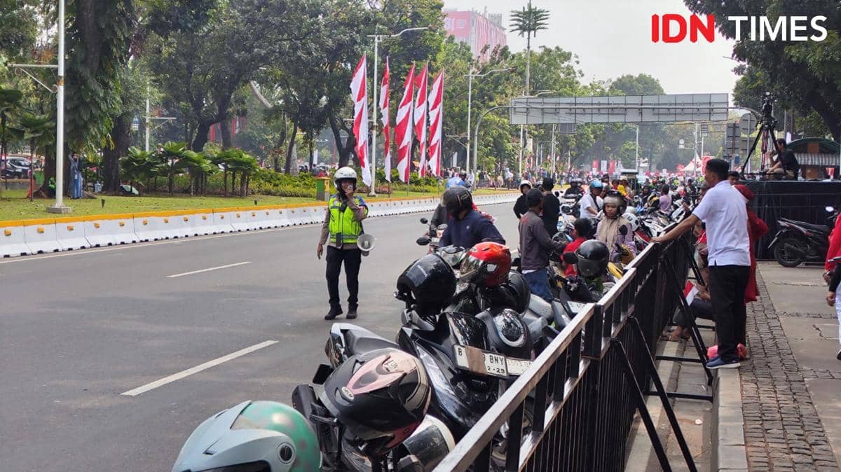
Jalan Merdeka Barat Dekat Istana Merdeka Jadi Parkir Liar Warga yang ke Monumen Nasional IDN Times

Kopassus Mengudara: Aksi Terjun Payung Terunggul di Istana Merdeka - Media Indonesia

Watch the live action of Tijuana vs. Cruz Azul, all the latest news, analysis, and match scores...

Netizen tidak senang dengan komentar-komentar yang diberikan

BTS mungkin kembali mengikuti Grammy setelah rekanan mereka, Recording Academy, mengumumkan revisi...
BTS mungkin tidak akan mengubah keputusan untuk mengabaikan Grammy karena deadline pengiriman musik...
Update terbaru tentang keputusan BTS untuk tidak mengirimkan musik mereka untuk dijadikan nominee...
Pihak Recording Academy mengumumkan akan kembali meninju keputusan untuk memperkenalkan kategori...

Sangyeop Sangyeop mengumumkan rencananya untuk menikah dengan seorang non-celebrity, mengejutkan...