



Pemerintah Kabupaten Aceh Tamiang: Bumi Muda Sedia Pulih dan Bangkit
Pemerintah Kabupaten Aceh Tamiang: Bumi Muda Sedia Pulih dan Bangkit — Informasi Terbaru

The 7.4-magnitude earthquake had its epicenter near San José del Palmar, in the Chocó region, but its impact was felt in many Colombian cities and even outside the country.
The quake affected Cali, Pereira, Armenia, Manizales, Medellín, and Bogotá, among other cities. There are also reports that the earthquake was felt in neighboring countries. Reuters confirms that the earthquake was felt in Venezuela, while Associated Press reports that it also affected Ecuador.
But how can an earthquake with its epicenter in western Colombia be felt hundreds of kilometers away?
One factor is the earthquake's high magnitude. Initial estimates were revised over the hours following the quake to place it at 7.4. Reuters and Associated Press report this magnitude in their latest updates on the earthquake.
Magnitude reflects the energy released by an earthquake, and it's expressed on a logarithmic scale. This means that small changes in magnitude represent large increases in released energy.
The power of this Monday's earthquake allows us to understand that seismic waves could propagate over a very wide area of the territory.
Depth is another element to consider when explaining why the earthquake was felt so far away. At this point, however, changing figures have been released as data was reviewed.
In information provided by Julio Fierro Morales, the Director General of the Colombian Geological Survey (SGC), mention is made of 88 kilometers of depth. International sources, however, provide different values, such as Associated Press which places the depth at 107 kilometers.
For this reason, until the technical revision of the earthquake continues, it's more prudent not to fix a different depth from the one communicated by the SGC as the definitive figure.
In general, the depth at which an earthquake occurs influences both the way it is felt on the surface and the geographical area in which its seismic waves can be perceived.
To understand the phenomenon, it's also necessary to differentiate between two concepts. The hypocenter is the point inside the Earth where the rupture begins causing the earthquake. The epicenter, on the other hand, is the point on the surface directly above that zone.
In this Monday's earthquake, the epicenter was located near San José del Palmar, in the Chocó region.
This also explains why talking only about the distance of a city from the epicenter is not enough to determine how an earthquake will be felt.
The earthquake's high portability is reflected in reports from various cities. Reuters indicates that the earthquake was felt as far as Bogotá, which is approximately 400 kilometers from the epicenter, despite the mayor of the capital, Carlos Fernando Galán, initially informing that no significant damage had been reported.
The situation was different in closer areas. The Governor of Chocó, Nubia Carolina Córdoba, communicated the existence of injuries and significant damage to structures in the department. Reuters also reports on grave damage and injuries in Pereira.
In Cali, impacts on buildings and structures have also been reported, while emergency organizations continue to assess the damage.
The extension of seismic waves did not stop at Colombian territory. Associated Press confirms that the earthquake was felt in Ecuador, where evacuations of buildings and homes have also taken place. Reuters also reports that the earthquake reached Venezuela.
The earthquake shows the significant geographical extent that a movement of this magnitude can achieve: from its epicenter in western Colombia, the quake was felt hundreds of kilometers away and crossed national borders.
Colombian authorities continue to assess the consequences of the earthquake and review the technical parameters of the event, so that both damage assessments and some seismic data may continue to be updated over the coming hours.
The Colombian Geological Survey (SGC) is the technical-scientific entity of the state responsible for studying seismic threat and supporting disaster risk management associated with earthquakes. Within the framework of the National System for Disaster Risk Management (SNGRD), its role is to produce geoscientific information, monitor seismicity in real-time, and advise authorities on decision-making before, during, and after an earthquake.
The SGC does not direct the operational response (which corresponds to UNGRD, governorates, municipalities, and relief organizations), but it is the technical reference point for understanding the phenomenon, its danger, and the expected impacts.
A 7.4-magnitude earthquake struck Colombia on August 10, causing widespread damage and concerns about its reach. We explain why it felt so powerful and far from its epicenter.
Pemerintah Kabupaten Aceh Tamiang: Bumi Muda Sedia Pulih dan Bangkit — Informasi Terbaru

Acara 600 ribu porsi kulinier gratis di Monas, menghidupkan semangat kebangsaan dan memperkuat rasa...

Hayden Panettiere, bintang televisi Amerika yang terkenal dengan perannya dalam serial 'Heroes' dan...
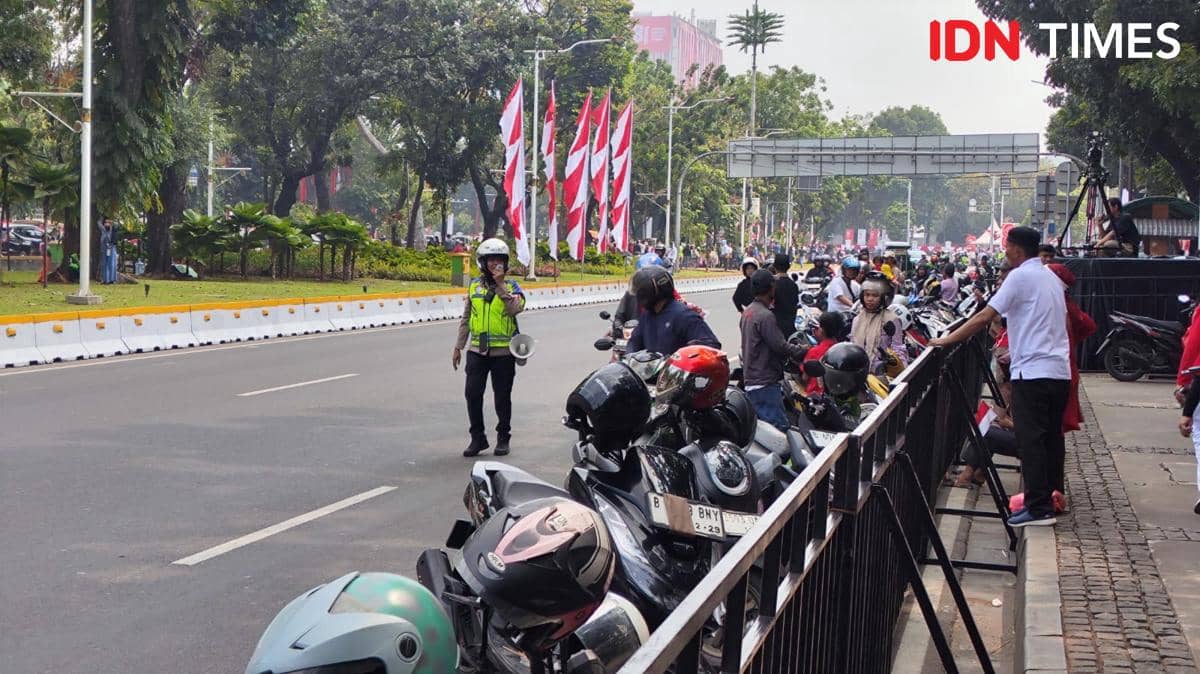
Jalan Merdeka Barat Dekat Istana Merdeka Jadi Parkir Liar Warga yang ke Monumen Nasional IDN Times

Kopassus Mengudara: Aksi Terjun Payung Terunggul di Istana Merdeka - Media Indonesia

Watch the live action of Tijuana vs. Cruz Azul, all the latest news, analysis, and match scores...

Netizen tidak senang dengan komentar-komentar yang diberikan

BTS mungkin kembali mengikuti Grammy setelah rekanan mereka, Recording Academy, mengumumkan revisi...
BTS mungkin tidak akan mengubah keputusan untuk mengabaikan Grammy karena deadline pengiriman musik...
Update terbaru tentang keputusan BTS untuk tidak mengirimkan musik mereka untuk dijadikan nominee...
Pihak Recording Academy mengumumkan akan kembali meninju keputusan untuk memperkenalkan kategori...

Sangyeop Sangyeop mengumumkan rencananya untuk menikah dengan seorang non-celebrity, mengejutkan...