

Devastating Floods Continue to Affect Indiana, Leaving a Trail of Destruction and Loss of Life
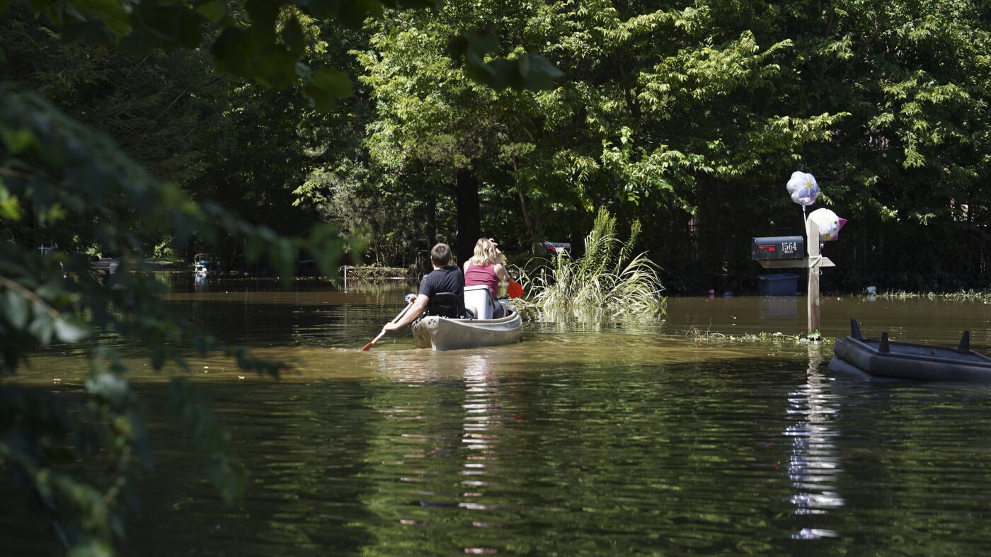
The floods that have been battering Indiana for days have left a trail of destruction and claiming...

A Tornado Watch is currently in place for Northwest Florida, Southwest Alabama, and surrounding areas until 5 p.m. CDT Thursday. This precautionary measure was issued due to the severe weather threat associated with the remnants of Tropical Storm Arthur as the system continues to move inland across the region, bringing with it a heightened risk of damaging wind gusts, isolated tornadoes, and significant rainfall.
The Storm Prediction Center has categorized the area under a Slight Risk of severe weather, earning a Level 2 out of 5 on the severe weather scale. This designation signifies that conditions are favorable for isolated to scattered severe thunderstorms to occur in the specified region. With the severe weather threat intensifying, residents are advised to remain vigilant and prepared for any potential weather-related hazards.
According to meteorologists, the primary threats posed by this severe weather event include damaging wind gusts, isolated tornadoes, and heavy rainfall. In the event of individual tornadoes developing, Tornado Warnings will be issued for the specific areas impacted. It's essential for residents to recognize the difference between a Tornado Watch and a Tornado Warning – a Watch signifies a heightened state of alert, whereas a Warning signifies immediate action is necessary.
The concern for flooding also persists as a Flood Watch continues through Friday afternoon. The threat of flash flooding is significant, especially considering the heavy rain that could fall on already saturated grounds, potentially causing widespread disruptions. It's crucial for residents to monitor weather conditions closely and avoid driving through flooded roadways.
Beyond the severe weather threat, beachgoers are also being cautioned about the hazardous beach conditions along the northern Gulf Coast. A high risk of rip currents has been identified, making it essential for individuals to exercise extreme caution if entering the water. When double red flags are displayed, the Gulf waters are officially closed to swimming to prevent potential hazards. Residents are urged to visit beaches that are deemed safe by local authorities.
Rainfall is expected to dominate the forecast for the remainder of the week with elevated rain chances persisting through Friday and into Saturday. Conditions are forecasted to gradually improve by Sunday as drier air moves into the region. With this shift, residents can expect mostly sunny skies with merely a slight chance for isolated afternoon showers or thunderstorms.
The impending severe weather event is a harsh reminder of the region's vulnerability to tropical systems. The remnants of Tropical Storm Arthur serve as a poignant illustration of how quickly the weather can escalate in the blink of an eye. In this instance, we advise residents to stay apprised of the latest updates, heeding weather alerts, and exercising caution to ensure their safety.
Tornado watch in effect for Northwest Florida and Southwest Alabama - staying informed, staying safe
The floods that have been battering Indiana for days have left a trail of destruction and claiming...
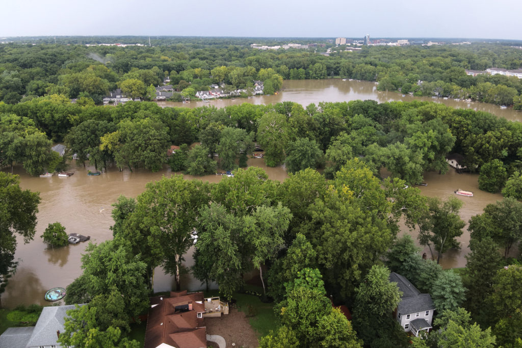
A severe weather system has crossed the state of Indiana, resulting in the deaths of at least 5...
A severe weather system has brought devastating consequences to Indiana, with authorities...
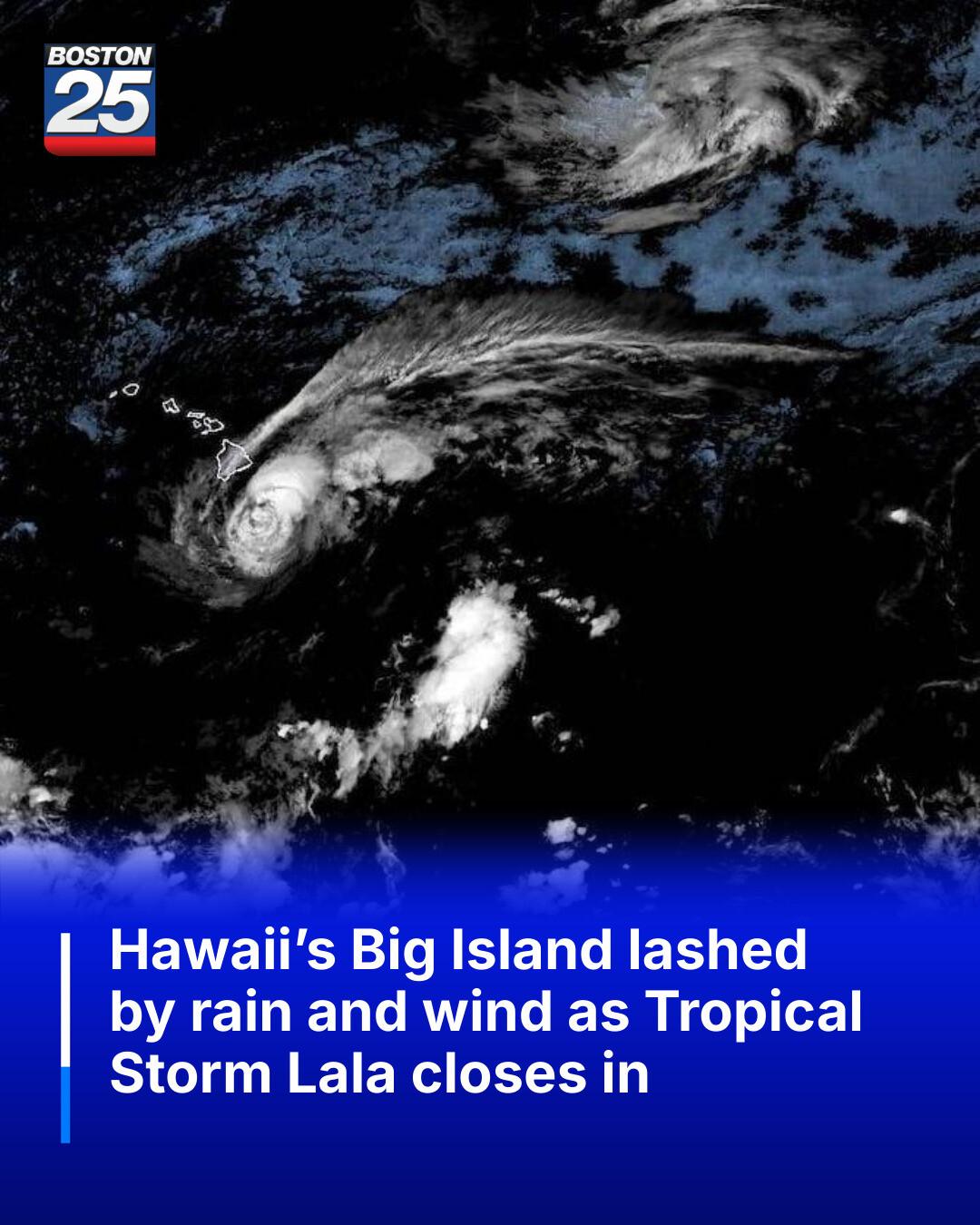
Tropical Storm Lala is expected to bring strong winds and heavy rain to Hawaii's Big Island, with...

Residents of Broad Ripple are advised to evacuate the area as floodgates are closed to mitigate the...
The worst flooding in decades hits Indiana, wreaking havoc on communities and infrastructure.

Netizen tidak senang dengan komentar-komentar yang diberikan

BTS mungkin kembali mengikuti Grammy setelah rekanan mereka, Recording Academy, mengumumkan revisi...
BTS mungkin tidak akan mengubah keputusan untuk mengabaikan Grammy karena deadline pengiriman musik...
Update terbaru tentang keputusan BTS untuk tidak mengirimkan musik mereka untuk dijadikan nominee...
Pihak Recording Academy mengumumkan akan kembali meninju keputusan untuk memperkenalkan kategori...

Sangyeop Sangyeop mengumumkan rencananya untuk menikah dengan seorang non-celebrity, mengejutkan...